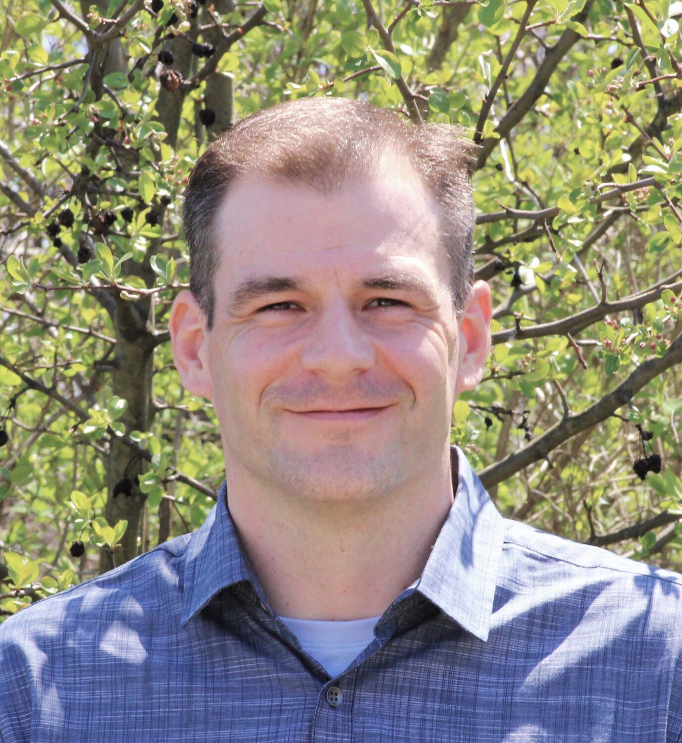
David Garretson
David is the Great Lakes RCAP GIS Coordinator managing its GIS Team and projects to capture and digitize small communities' water, sewer, stormwater, and electric utility networks. He also manages GLCAP's Cooperative GIS service, which serves more than 75 communities. David has been with the program since early 2011, piloting its data collection, database development, and QA/QC efforts and serving in multiple roles, including RCAP GIS Database Administrator, GIS Specialist, and GIS Technician. David has an MS in Geographic Information Sciences from Akron University.
Title: Field Days 1 and 2
Day/Time: Wednesday, 8/17 | 9:30 am – 12:00 pm and 2:00 pm – 5:00 pm
Description: Field Day demonstrations, including the topics: water distribution, wastewater collection, and GIS.
